Tucked between Graniteville Road and Crooked Spring Road in West Chelmsford sits a little place with a long story. The Margaret Robbins Crooked Spring Brook Reservation feels quiet today, a network of trails sliding along a brook, a skating pond, a steep sledding hill, and a hidden glacial relic. But everything here has layers. You can walk it in twenty minutes and cover twenty thousand years of history without realizing it.
The brook before there was a town
Crooked Spring Brook is only a mile and a half long, slipping between hills before meeting Stony Brook and eventually the Merrimack River. Long before Chelmsford was Chelmsford, this was outwash country. The glacier that covered New England melted here in piles of sand and gravel. When it paused, massive blocks of buried ice remained. As those blocks melted, they left the classic bowl shaped hollows known as kettle holes. The brook we know today cuts through that old gravel, feeding wetlands and seeping into groundwater.
The reservation holds one of those glacial relics. If you walk past the main pond and head to the far side of the site, you eventually find a little round pond tucked against the slope. That quiet pool is a kettle hole. It was not dug. It was not dammed. Furthermore, it is a natural basin left behind when the glacier stepped off the land. Its steep edges, peat fringe, and groundwater-fed depth tell the story well.
From farms, sandpits, and sledding hills to conservation land
For most of its modern life, the land around Crooked Spring Brook was farmland threaded with woodlots. The Snow family owned what would later become the town reservation. This part of Chelmsford was valuable for more than fields. Just beyond the brook sat thick glacial deposits filled with clean sand and gravel. Old timers insist that the sand taken here helped build Route 3. Whether every handful beneath the highway truly came from this spot or another pit along Stony Brook, the timing and proximity make the tale believable. What is certain is that the water district still owns a sand and gravel pit in this same well field.
That old sandpit left behind a steep hillside that generations of local kids discovered in winter. When snow cooperated, Crooked Spring quietly became home to one of the steepest sledding runs in town. It did not get listed in guides or park brochures. You learned of it by being told or by following tracks up the sandy slope.
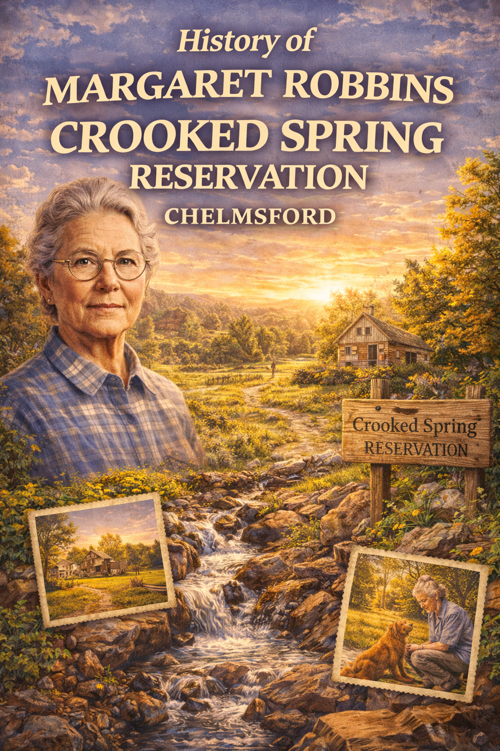
When Chelmsford created its Conservation Commission in the 1960s, longtime resident Margaret Robbins Mills became one of its earliest champions. She pushed for the town to protect Crooked Spring. In 1965 the Snow family land was purchased, making it the first property ever acquired by the Chelmsford Conservation Commission. Conservation minded residents began caring for it immediately. No hunting signs went up. Neighbors began walking the trails long before maps existed.
A man made pond, shifting stream, and a planted forest
By the early 1970s, Crooked Spring was already seeing heavy use. A town wide master plan called for a small neighborhood style recreation area here with a footbridge, trails, and a pond suitable for fishing and skating. In 1973, the town meeting voted to spend eighteen thousand dollars on the pond’s dam construction. The earthen dam was built soon after, creating the long, narrow pond just below the parking area. This is the pond most people know. It freezes up just deep enough for kids to skate, yet shallow enough for parents to feel safe. That was deliberate. The pond was engineered as a family space, something usable and walkable for residents rather than a big engineered facility. Over the decades the brook has carried sand off the surrounding slopes and slowly filled the basin. Each year the pond grows shallower. In time it will stop behaving like a pond and simply become another wetland pocket on the property, a reminder that nature always takes back what we carve into it.
In wet springs the little brook can surprise visitors. The narrow channel that trickles under the bridges in summer swells into a churning, wide stream that spreads out across the lowland. For years volunteers had to drag walkways back into place after high water floated them downstream. Eventually the lesson stuck, and the bridges were anchored deep into the ground. Even so, it is not uncommon after a big melt or wet spring to see sections of walkway underwater, a reminder that the brook decides where it wants to run.
Around this same time, the steep sand slopes left behind by extraction were a worry. Erosion was cutting the hillside. So a reforestation project took place. Hundreds of pine seedlings were planted across the hill to lock the slope in place. The long range plan called for thinning these trees as they matured. Like many good intentions, that part never quite happened. The stand grew too dense, competing for light and soil. Many trees died in place. Others blew down in storms. Today you can still see standing dead snags and fallen trunks scattered across the hill. Periodically groups try to clean it out to reduce fire risk. The most recent effort in 2024 pulled material off the slope but never processed it into chips, actually increasing the fire hazard by leaving fuel piled rather than removed.
Skating, wildlife, and changing winters
The plan for the pond worked. For decades families have fished and skated on the little pond. A New Year’s Day photo spread once showed kids gliding across the crooked ice. Conservation workers and COSS members even pruned low branches to open access for skaters when winters were cold enough. It still happens in good years. In lean winters people remember it as tradition.
The wildlife certainly know the place too. Blue herons hunt the kettle pond edges. Spring peepers echo around it. Deer tracks cross between the two water bodies. Crooked Spring Brook appeared on state trout stocking lists decades ago, but those days are gone. No one has seen trout here in years. Today the brook is more of a warm water and amphibian habitat than anything resembling a stocked fishery.
Wells and water security
All this sits inside the well protection area for the town’s Crooked Spring wells. The water treatment plant sits just beyond the reservation with piping that draws from gravel packed wells in the old sandpits. It is an odd symmetry. The glacier deposited the sand. People mined it to make highways. The remaining gravel now purifies drinking water. The reservation that protects scenery also protects the well field beneath it.
A name and legacy
In 1993 the town formally renamed the property the Margaret Robbins Crooked Spring Brook Reservation in honor of the commissioner who fought hard for its conservation almost thirty years earlier. Photos from the dedication show residents gathered in the woods, celebrating someone who rarely claimed credit but always showed up. Long before boards had language about stewardship, she lived it.
Today the reservation carries that lineage forward. For almost two decades, COSS quietly maintained trails, cleared branches, rebuilt footbridges, tightened anchor chains, and reset boardwalks after spring floods. In 2025 the Conservation Commission took over this responsibility, and COSS shifted to more occasional support roles rather than being the primary caretaker. Birders walk the loops searching for woodpeckers and bluebirds. Families wander in from nearby neighborhoods knowing there will always be something to see.
Two ponds and two eras
That is the real magic of Crooked Spring. In a space the size of a modest farm, you get two different ages of water. The engineered pond from the 1970s that tells a civic story of planning, town meeting votes, neighborhood recreation, and a skating rink of childhood memory. And the kettle pond that predates it all, a remnant of ice age retreat, older than deeds, older than the Snow family’s farm, older than stone walls and colonial maps.
Few people notice the contrast. Fewer still realize that they can stand between the two and feel how town planning meets glacial history in one quiet corner of Chelmsford.
Crooked Spring is not a large place. Yet it holds the town’s first conservation purchase. It holds a man made pond where generations skated. It holds a kettle hole carved before people walked here. Likewise, it holds one of the steepest sledding hills in town. It holds bridges built and rebuilt because a tiny brook can become a spring flood. It holds a planted pine forest that was never thinned and now waits for fire management that often lags intent. Not only that, but it holds a sandpit that likely helped build a highway. And now it holds the name of someone who understood why saving small places matters.
This is what makes it worth telling. It is a local story tied to the ground, shaped by ice, sand, pine, shifting water, trial and error, and people who cared enough to take ownership of it without owning it.